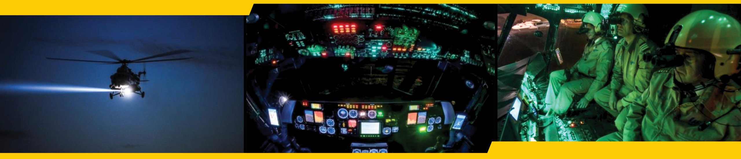
Synthetic Aperture Radar (SAR) has proven to be an extremely effective imagery tool for both military and non-military applications. Learn why this technology is so advantageous for defense and intelligence operations and how MAG uses it in our C5ISR program.
What Is Synthetic Aperture Radar?
Synthetic Aperture Radar (SAR) is a powerful remote-sensing, data-collection tool. It is an active sensor that produces its own energy; it transmits electromagnetic energy (or microwave signals) to the Earth’s surface and then receives the returning energy (or signal) after it bounces or reflects off objects on the surface.
Think of this as a fancy camera that can take pictures day or night, no matter if it’s dark, foggy, or even if there’s a wall in the way. Instead of using light, it uses radio waves, which can travel through things that would block regular light. For example, synthetic aperture radar can see through clouds, smoke, snow, and rain, and it can ascertain changes in habitats, water levels, and the Earth’s surface.
These radio waves bounce off the object they hit and return to the radar. The time it takes for the waves to return helps calculate the distance to the object.
Since the radar is moving (usually it’s on a satellite or airplane), it captures many images from slightly different angles. These images are combined (like putting together a panorama on your phone), creating a detailed and wide-ranging picture. That’s why it’s called “synthetic aperture” – it mimics a much larger radar by moving and taking many pictures.In non-military applications, it can be used to find and map out lost cities, assess landscape changes after an earthquake or volcano, analyze civil infrastructure, or look for victims after a natural disaster.
How Is SAR Better Than Other Imagery Technology?
Because SAR can operate in any weather conditions, any level of light, and see through obstructions it holds a greater advantage over other imaging tools like optical cameras.
Three Other Beneficial Features Of SAR:
- Persistent Monitoring: When SAR is used to repeatedly image the same area over time, it enables entities to detect environmental or structural changes.
- Multi-Polarization: When SAR is used to collect images in multiple polarizations, it provides additional information.
- Synthetic Aperture: Because SAR employs synthetic aperture, it can deliver high-resolution images with a relatively short antenna. This is especially useful in space or on an aircraft where a conventional radar antenna is simply not feasible.
How Is Synthetic Aperture Radar Used in the Military & Defense?
With its dynamic imaging capabilities, it’s easy to see why SAR is utilized and integrated into military and intelligence operations.
Some Applications in National Defense Include:
- Surveillance & Reconnaissance: SAR can collect images of land or sea areas. With its all-weather, all-hours functionality, SAR makes an ideal tool for tracking enemy movements and activities.
- Target Acquisition: SAR is used to identify and track specific targets like enemy vehicles or ships. This information is then used to guide airstrikes or other attacks.
- Damage Assessment: SAR is used to assess damage created by military operations. This information is then used to provide critical assistance and guide future strategies.
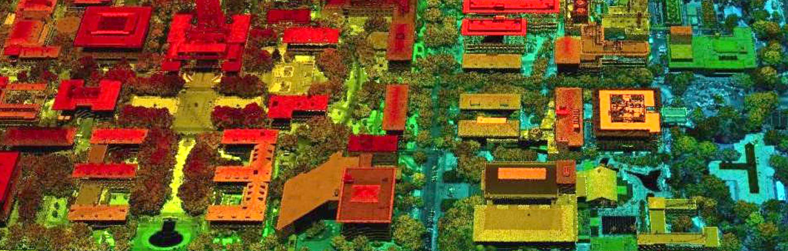
- Mapping: SAR can also help create detailed maps of the Earth’s surface. These maps can be used for planning military operations, conducting humanitarian relief efforts, or monitoring environmental changes.
Here Are a Few Ways That SAR Has Been Deployed by the Military:
- During the Gulf War, SAR helped track Iraqi troop movements and identify airstrike targets.
- During the Afghanistan War, SAR helped map the terrain and identify enemy positions.
- During the Syrian Civil War, SAR helped monitor the movement of refugees and assessed damage caused by airstrikes.
How Does MAG Utilize SAR in Its Operations?
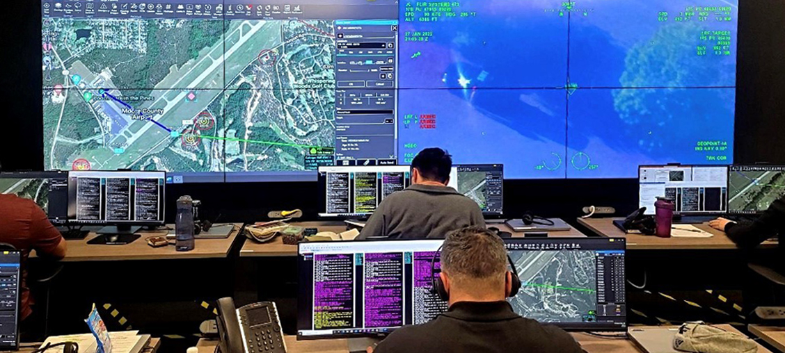
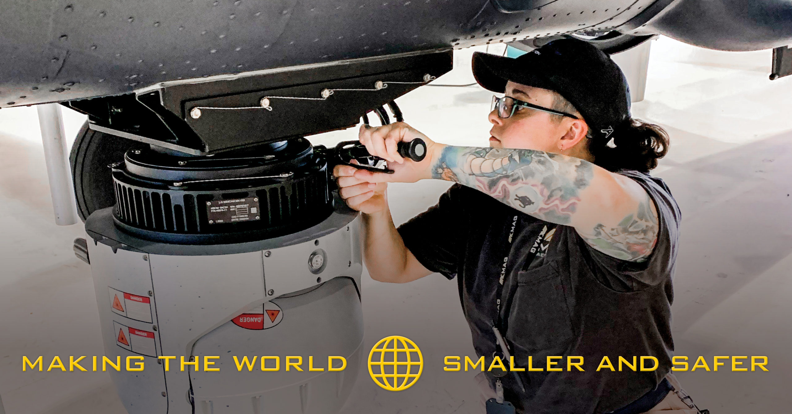
MAG integrates synthetic aperture radar into its defense solutions and services. It’s part of our full-spectrum Intelligence, Reconnaissance & Surveillance (ISR) capabilities. Along with SAR, our multi-intelligence data collection, processing, exploitation, and dissemination services include electro-optical infra-red (EO/IR) full-motion video (FMV), LIDAR, hyperspectral imagery (HSI), signals intelligence (SIGINT), and maritime patrol surface search radar.
HERE ARE A COUPLE OF WAYS WE’VE USED THESE CAPABILITIES IN SERVICE TO THE U.S. GOVERNMENT:
Central/South America Operational Support
We helped the federal government with the operations, maintenance, and analysis of a multi-sensor aircraft outfitted with a foliage-penetrating (FOPEN) light detection and ranging (LIDAR) and synthetic aperture radar (SAR) systems, as well as associated ground processing systems.
We Took Responsibility For:
- Logistics
- Maintenance
- Pilots
- Payload Operators
- Analysts
- Liaison
- Communications
- Networking Specialists
 We also conducted data processing, exploitation, and dissemination tasks for near real-time intelligence collection, both while the aircrafts were in flight and post-mission from the intelligence collected during the flights.
Since being contracted by the U.S. government, MAG has flown over 400 missions and satisfied over 1,200 LIDAR targets and 1,900 SAR targets. We’ve also maintained a better than 95 percent aircraft availability rate and 97 percent collection rate (SAR). All while effectively integrating, operating, and maintaining a host of technologies.
Central/South America Anti-Narcotics Support
In Latin America, we helped the U.S. government counter narcotic traffickers by supplying manned ISR operations throughout SOUTHCOM. We deployed multiple contractor-owned, contractor-operated ISR platforms and were responsible for all elements of the operation, including:
- Logistic
- Maintenance
- Pilots
- Payload Operators
- Analysts
- Liaison Communications
- Networking Specialists
As part of this operation, we also utilized our premier synthetic aperture radar and the highest resolution HF/VHF/UHF geolocation system in its class. MAG has flown over 2,700 missions, collected over 7,000 targets, and produced over 150,000 FFV/still frame images – just to highlight a few milestones.
To learn more about our SAR and data collection capabilities as well as our entire C5ISR program, contact MAG today!